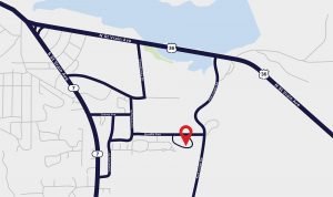
PCCR_Map_Outline-final
A simplified map shows a road network with major routes like N St Vrain Ave highlighted. A red location pin marks a specific point on Brodie Ave, near the intersection with Moraine Ave. A body of water is visible at the top, and road numbers 36 and 7 are noted.

